 vesseltracker.com
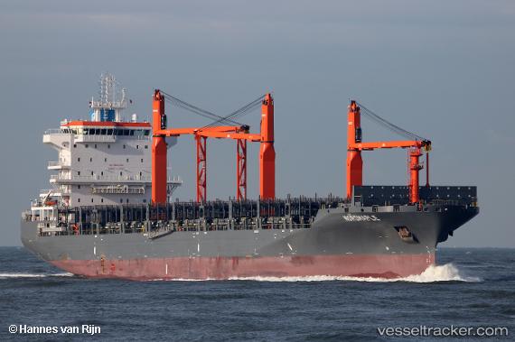
 MARIUS
Current Status
Where is the vessel?
MARIUS is currently in Near Brooklawn, based on AIS data received less than 1h ago.
Latest AIS update:
Current position: 39.89833° N, 75.13500° W (Near Brooklawn)
Average speed (last 7 days): Loading…
Average speed (last 30 days): Loading…
Vessel profile: MARIUS is a Cargo A with dimensions m x m.
This page combines live AIS, route history, probable destination signals, nearby traffic, and port activity for practical vessel monitoring.
The current position of vessel MARIUS is 39.89833 lat / -75.13500 lng. Updated: 2026-04-25 22:23:45 UTCNearest reference points:
- Near Brooklawn
- Near Trainer
- Near Wilmington
Details:
Live Vessel MARIUS Analytics (details, animations, etc.)
Recent AIS points (UTC):
2026-04-25 19:27:19 UTC · 39.89855, -75.13576 · SOG 0 kn · COG 21°2026-04-25 19:53:17 UTC · 39.89854, -75.13577 · SOG 0 kn · COG 21°
2026-04-25 22:18:21 UTC · 39.89858, -75.13576 · SOG 0 kn · COG 21°
2026-04-25 22:23:45 UTC · 39.89833, -75.13500 · SOG 0 kn · COG -1°