 vesseltracker.com
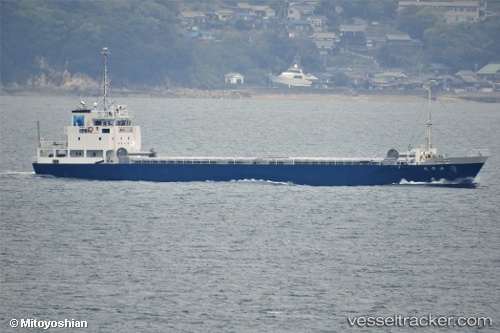
 Masuei Maru
Current Status
Where is the vessel?
Masuei Maru is currently in 13 nm E of Iruma, based on AIS data received about 1h ago.
Latest AIS update:
Current position: 34.69962° N, 139.04758° E (13 nm E of Iruma)
Average speed (last 7 days): Loading…
Average speed (last 30 days): Loading…
Vessel profile: Masuei Maru is a General Cargo Ship with dimensions 75m x 12m.
This page combines live AIS, route history, probable destination signals, nearby traffic, and port activity for practical vessel monitoring.
The current position of vessel Masuei Maru is 34.69962 lat / 139.04758 lng. Updated: 2026-03-30 11:35:49 UTCNearest reference points:
- Near Iruma
- 10 nm SE of Iruma
- Near Toshima/Tokyo
Currently sailing under the flag of Japan ![]()
Details:
Live Vessel Masuei Maru Analytics (details, animations, etc.)
Recent AIS points (UTC):
2026-03-30 05:31:29 UTC · 35.57975, 139.93503 · SOG 12.4 kn · COG 219°2026-03-30 07:28:58 UTC · 35.26785, 139.76042 · SOG 13.5 kn · COG 148°
2026-03-30 09:49:51 UTC · 34.96086, 139.33945 · SOG 12.3 kn · COG 238°
2026-03-30 11:35:49 UTC · 34.69962, 139.04758 · SOG 12.6 kn · COG 212°