 vesseltracker.com
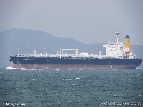
 HIGH TRANSPORTER
Current Status
Where is the vessel?
HIGH TRANSPORTER is currently in Near Geraldton, based on AIS data received about 1h ago.
Latest AIS update:
Current position: 28.77355° S, 114.59445° E (Near Geraldton)
Average speed (last 7 days): Loading…
Average speed (last 30 days): Loading…
Vessel profile: HIGH TRANSPORTER is a Tanker with dimensions m x m.
This page combines live AIS, route history, probable destination signals, nearby traffic, and port activity for practical vessel monitoring.
The current position of vessel HIGH TRANSPORTER is -28.77355 lat / 114.59445 lng. Updated: 2026-05-15 06:15:46 UTCNearest reference points:
- 45 nm W of Cataby
Currently sailing under the flag of Liberia ![]()
Details:
Live Vessel HIGH TRANSPORTER Analytics (details, animations, etc.)
Recent AIS points (UTC):
2026-05-14 23:42:47 UTC · -28.77357, 114.59445 · SOG 0 kn · COG 20°2026-05-15 04:21:46 UTC · -28.77356, 114.59440 · SOG 0 kn · COG 20°
2026-05-15 04:30:46 UTC · -28.77352, 114.59444 · SOG 0 kn · COG 20°
2026-05-15 06:15:46 UTC · -28.77355, 114.59445 · SOG 0 kn · COG 20°