 vesseltracker.com
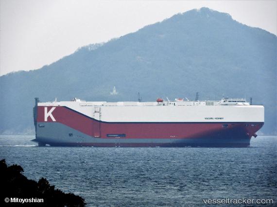
Niagara Highway
Current StatusWhere is the vessel?
Niagara Highway is currently in 24 nm NE of Veracruz, based on AIS data received about 1h ago.
Latest AIS update:
Current position: 19.53411° N, 95.89980° W (24 nm NE of Veracruz)
Average speed (last 7 days): Loading…
Average speed (last 30 days): Loading…
Vessel profile: Niagara Highway is a Vehicles Carrier with dimensions 37m x 199m.
This page combines live AIS, route history, probable destination signals, nearby traffic, and port activity for practical vessel monitoring.
The current position of vessel Niagara Highway is 19.53411 lat / -95.89980 lng. Updated: 2026-05-15 17:27:29 UTCNearest reference points:
- Near Veracruz
- 25 nm E of Tuxpan
- Near Coatzacoalcos
Details:
Live Vessel Niagara Highway Analytics (details, animations, etc.)
Recent AIS points (UTC):
2026-05-15 14:03:28 UTC · 19.55062, -95.91134 · SOG 0.5 kn · COG 252°2026-05-15 15:49:38 UTC · 19.53933, -95.90939 · SOG 0.3 kn · COG 282°
2026-05-15 16:07:38 UTC · 19.53853, -95.90830 · SOG 0.2 kn · COG 293°
2026-05-15 17:27:29 UTC · 19.53411, -95.89980 · SOG 0.4 kn · COG 295°