 vesseltracker.com
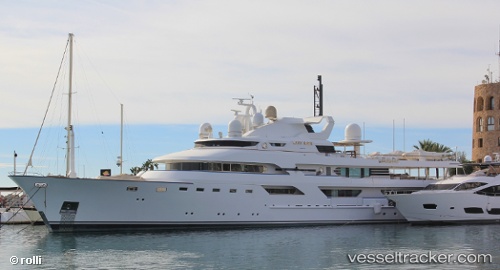
Lady Haya
Current StatusWhere is the vessel?
Lady Haya is currently in Near Nueva Andalucia, based on AIS data received less than 1h ago.
Latest AIS update:
Current position: 36.48480° N, 4.95315° W (Near Nueva Andalucia)
Average speed (last 7 days): Loading…
Average speed (last 30 days): Loading…
Vessel profile: Lady Haya is a Yacht with dimensions 10m x 65m.
This page combines live AIS, route history, probable destination signals, nearby traffic, and port activity for practical vessel monitoring.
The current position of vessel Lady Haya is 36.48480 lat / -4.95315 lng. Updated: 2026-05-16 13:26:45 UTCNearest reference points:
- Near Nueva Andalucia
- Near Fuengirola
- Near Sotogrande
Details:
Live Vessel Lady Haya Analytics (details, animations, etc.)
Recent AIS points (UTC):
2026-05-16 10:11:43 UTC · 36.48480, -4.95315 · SOG 0 kn · COG 62°2026-05-16 12:08:44 UTC · 36.48479, -4.95318 · SOG 0 kn · COG 66°
2026-05-16 13:11:45 UTC · 36.48481, -4.95315 · SOG 0 kn · COG 63°
2026-05-16 13:26:45 UTC · 36.48480, -4.95315 · SOG 0 kn · COG 59°