 vesseltracker.com
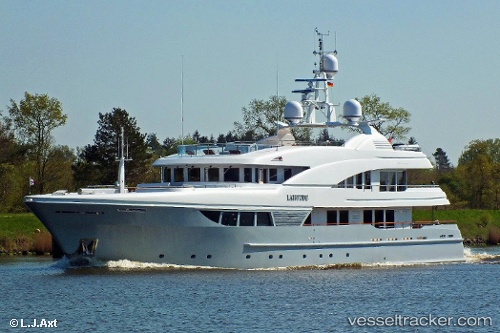
 LADY B
Current Status
Where is the vessel?
LADY B is currently in 87 nm S of Catalina Island, based on AIS data received about 1h ago.
Latest AIS update:
Current position: 16.94833° N, 69.30167° W (87 nm S of Catalina Island)
Average speed (last 7 days): Loading…
Average speed (last 30 days): Loading…
Vessel profile: LADY B is a Yacht with dimensions m x m.
This page combines live AIS, route history, probable destination signals, nearby traffic, and port activity for practical vessel monitoring.
The current position of vessel LADY B is 16.94833 lat / -69.30167 lng. Updated: 2026-04-27 22:46:03 UTCNearest reference points:
- Near CASA DE CAMPO
- Near Bahia De Las Calderas
- 32 nm N of Punta Cana Apt
Currently sailing under the flag of Cayman Islands ![]()
Details:
Live Vessel LADY B Analytics (details, animations, etc.)
Recent AIS points (UTC):
2026-04-27 17:27:47 UTC · 16.21666, -70.35500 · SOG 15 kn · COG -1°2026-04-27 20:00:56 UTC · 16.58500, -69.84667 · SOG 14 kn · COG -1°
2026-04-27 21:52:08 UTC · 16.82491, -69.47533 · SOG 14 kn · COG 50°
2026-04-27 22:46:03 UTC · 16.94833, -69.30167 · SOG 13 kn · COG -1°