 vesseltracker.com
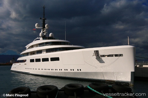
Vava Ii
Current StatusWhere is the vessel?
Vava Ii is currently in Near Monaco, based on AIS data received less than 1h ago.
Latest AIS update:
Current position: 43.73462° N, 7.42943° E (Near Monaco)
Average speed (last 7 days): Loading…
Average speed (last 30 days): Loading…
Vessel profile: Vava Ii is a Service Ship with dimensions 17m x 96m.
This page combines live AIS, route history, probable destination signals, nearby traffic, and port activity for practical vessel monitoring.
The current position of vessel Vava Ii is 43.73462 lat / 7.42943 lng. Updated: 2026-05-14 10:11:37 UTCNearest reference points:
- Near Monaco
- Near Monte-Carlo
- Near SAINTJEAN CAP FERRAT
Details:
Live Vessel Vava Ii Analytics (details, animations, etc.)
Recent AIS points (UTC):
2026-05-14 05:47:11 UTC · 43.70260, 7.41742 · SOG 5.5 kn · COG 45°2026-05-14 07:59:33 UTC · 43.73463, 7.42943 · SOG 0 kn · COG 38°
2026-05-14 08:23:34 UTC · 43.73463, 7.42943 · SOG 0 kn · COG 38°
2026-05-14 10:11:37 UTC · 43.73462, 7.42943 · SOG 0.1 kn · COG 38°