 vesseltracker.com
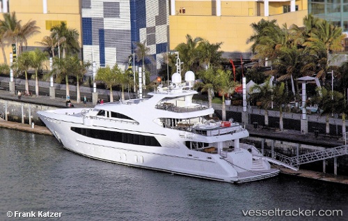
 M/Y BIG SKY
Current Status
Where is the vessel?
M/Y BIG SKY is currently in Near Tahiti Fa'a'à, based on AIS data received less than 1h ago.
Latest AIS update:
Current position: 17.58558° S, 149.61678° W (Near Tahiti Fa'a'à)
Average speed (last 7 days): Loading…
Average speed (last 30 days): Loading…
Vessel profile: M/Y BIG SKY is a Yacht with dimensions m x m.
This page combines live AIS, route history, probable destination signals, nearby traffic, and port activity for practical vessel monitoring.
The current position of vessel M/Y BIG SKY is -17.58558 lat / -149.61678 lng. Updated: 2026-05-17 07:34:02 UTCNearest reference points:
- 12 nm E of Papara
Currently sailing under the flag of Cook Islands ![]()
Details:
Live Vessel M/Y BIG SKY Analytics (details, animations, etc.)
Recent AIS points (UTC):
2026-05-17 04:35:20 UTC · -17.58500, -149.61667 · SOG 0 kn · COG -1°2026-05-17 05:37:01 UTC · -17.58559, -149.61681 · SOG 0 kn · COG 256°
2026-05-17 07:17:20 UTC · -17.58500, -149.61667 · SOG 0 kn · COG -1°
2026-05-17 07:34:02 UTC · -17.58558, -149.61678 · SOG 0 kn · COG 257°