 vesseltracker.com
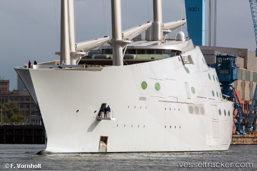
 SY A
SY A
Current Status
Where is the vessel?
SY A is currently in Near Aurisina, based on AIS data received less than 1h ago.
Latest AIS update:
Current position: 45.71743° N, 13.65997° E (Near Aurisina)
Average speed (last 7 days): Loading…
Average speed (last 30 days): Loading…
Vessel profile: SY A is a Sailing with dimensions m x m.
This page combines live AIS, route history, probable destination signals, nearby traffic, and port activity for practical vessel monitoring.
The current position of vessel SY A is 45.71743 lat / 13.65997 lng. Updated: 2026-04-30 00:04:06 UTCNearest reference points:
- Near Trieste
- Near Ronchi dei Legionari
- Near LUCIJA
Currently sailing under the flag of Sierra Leone ![]()
Details:
Live Vessel SY A Analytics (details, animations, etc.)
Recent AIS points (UTC):
2026-04-29 20:04:07 UTC · 45.71705, 13.66012 · SOG 0.2 kn · COG 51°2026-04-29 22:10:07 UTC · 45.71659, 13.66137 · SOG 0.1 kn · COG 351°
2026-04-29 22:13:06 UTC · 45.71658, 13.66141 · SOG 0.1 kn · COG 339°
2026-04-30 00:04:06 UTC · 45.71743, 13.65997 · SOG 0.6 kn · COG 67°