 vesseltracker.com
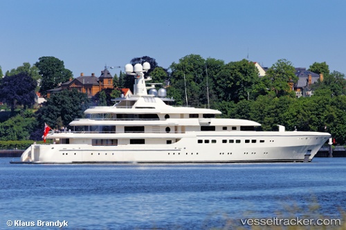
Romea
Current StatusWhere is the vessel?
Romea is currently in Near Limassol, based on AIS data received less than 1h ago.
Latest AIS update:
Current position: 34.66487° N, 33.03993° E (Near Limassol)
Average speed (last 7 days): Loading…
Average speed (last 30 days): Loading…
Vessel profile: Romea is a Sailing Vessel with dimensions 14m x 82m.
This page combines live AIS, route history, probable destination signals, nearby traffic, and port activity for practical vessel monitoring.
The current position of vessel Romea is 34.66487 lat / 33.03993 lng. Updated: 2026-04-28 00:18:52 UTCNearest reference points:
- Near Limassol
- 17 nm S of Vasilikos
- 11 nm SE of Paphos
Details:
Live Vessel Romea Analytics (details, animations, etc.)
Recent AIS points (UTC):
2026-04-27 20:00:51 UTC · 34.66488, 33.03995 · SOG 0 kn · COG 254°2026-04-27 21:27:52 UTC · 34.66488, 33.03995 · SOG 0 kn · COG 254°
2026-04-27 22:36:51 UTC · 34.66488, 33.03993 · SOG 0 kn · COG 254°
2026-04-28 00:18:52 UTC · 34.66487, 33.03993 · SOG 0.1 kn · COG 254°