 vesseltracker.com
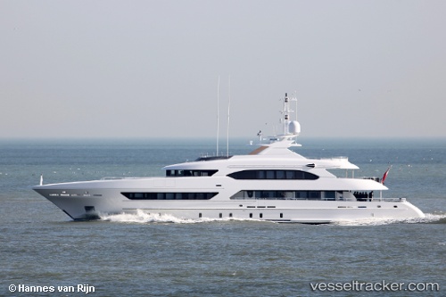
 My Book Ends
Current Status
Where is the vessel?
My Book Ends is currently in Near Sai Kung, based on AIS data received less than 1h ago.
Latest AIS update:
Current position: 22.36667° N, 114.26667° E (Near Sai Kung)
Average speed (last 7 days): Loading…
Average speed (last 30 days): Loading…
Vessel profile: My Book Ends is a Sailing Vessel with dimensions 47m x 8m.
This page combines live AIS, route history, probable destination signals, nearby traffic, and port activity for practical vessel monitoring.
The current position of vessel My Book Ends is 22.36667 lat / 114.26667 lng. Updated: 2026-05-13 19:04:43 UTCNearest reference points:
- Near Sai Kung
- Near Lei Yue Mun
- Near Mong Kok
Currently sailing under the flag of Cayman Is ![]()
Details:
Live Vessel My Book Ends Analytics (details, animations, etc.)
Recent AIS points (UTC):
2026-05-13 15:53:51 UTC · 22.36732, 114.26615 · SOG 0 kn · COG 130°2026-05-13 15:53:51 UTC · 22.36732, 114.26615 · SOG 0 kn · COG 130°
2026-05-13 16:58:34 UTC · 22.36667, 114.26667 · SOG 0 kn · COG -1°
2026-05-13 19:04:43 UTC · 22.36667, 114.26667 · SOG 0 kn · COG -1°