 vesseltracker.com
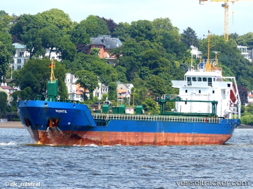
 Nina
Nina
Current Status
Where is the vessel?
Nina is currently in 41 nm NW of Vingsand, based on AIS data received about 1h ago.
Latest AIS update:
Current position: 64.84898° N, 9.39808° E (41 nm NW of Vingsand)
Average speed (last 7 days): Loading…
Average speed (last 30 days): Loading…
Vessel profile: Nina is a Multi Purpose Carrier with dimensions 104m x 14m.
This page combines live AIS, route history, probable destination signals, nearby traffic, and port activity for practical vessel monitoring.
The current position of vessel Nina is 64.84898 lat / 9.39808 lng. Updated: 2026-05-15 10:18:13 UTCNearest reference points:
- 35 nm E of Urd
- Near Uthaug
- Near Dyrvik
Currently sailing under the flag of Cyprus ![]()
Nina built in 2003 year
Deadweight:
5751 tDetails:
Live Vessel Nina Analytics (details, animations, etc.)
Recent AIS points (UTC):
2026-05-15 07:10:12 UTC · 64.38694, 8.78073 · SOG 10.3 kn · COG 30°2026-05-15 07:38:53 UTC · 64.45762, 8.87497 · SOG 10.3 kn · COG 30°
2026-05-15 10:01:47 UTC · 64.80934, 9.34319 · SOG 10 kn · COG 30°
2026-05-15 10:18:13 UTC · 64.84898, 9.39808 · SOG 10.2 kn · COG 30°