 vesseltracker.com
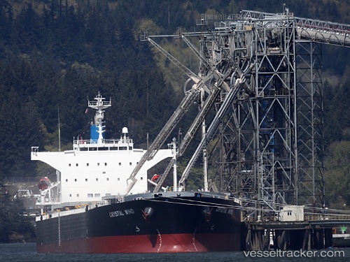
 LEMESSOS WIND
Current Status
Where is the vessel?
LEMESSOS WIND is currently in 51 nm NW of Kaibola, based on AIS data received less than 1h ago.
Latest AIS update:
Current position: 7.81190° S, 150.49454° E (51 nm NW of Kaibola)
Average speed (last 7 days): Loading…
Average speed (last 30 days): Loading…
Vessel profile: LEMESSOS WIND is a Bulk Carrier with dimensions 225m x 32m.
This page combines live AIS, route history, probable destination signals, nearby traffic, and port activity for practical vessel monitoring.
The current position of vessel LEMESSOS WIND is -7.81190 lat / 150.49454 lng. Updated: 2026-05-15 18:13:26 UTCNearest reference points:
- 42 nm E of Tami Island
Currently sailing under the flag of Cyprus ![]()
LEMESSOS WIND built in 2009 year
Deadweight:
76523 tDetails:
Live Vessel LEMESSOS WIND Analytics (details, animations, etc.)
Recent AIS points (UTC):
2026-05-15 14:05:56 UTC · -7.36053, 149.83194 · SOG 11.3 kn · COG 126°2026-05-15 15:30:35 UTC · -7.50888, 150.05499 · SOG 11.5 kn · COG 124°
2026-05-15 16:00:46 UTC · -7.56431, 150.13297 · SOG 11.2 kn · COG 124°
2026-05-15 18:13:26 UTC · -7.81190, 150.49454 · SOG 11.9 kn · COG 125°