 vesseltracker.com
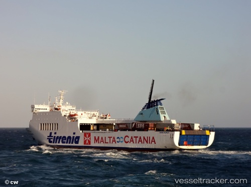
 MARCO POLO
Current Status
Where is the vessel?
MARCO POLO is currently in 55 nm SE of Mörbylånga, based on AIS data received less than 1h ago.
Latest AIS update:
Current position: 55.74132° N, 17.25066° E (55 nm SE of Mörbylånga)
Average speed (last 7 days): Loading…
Average speed (last 30 days): Loading…
Vessel profile: MARCO POLO is a Passenger/Ro-Ro Ship (vehicles) with dimensions 150m x 23m.
This page combines live AIS, route history, probable destination signals, nearby traffic, and port activity for practical vessel monitoring.
The current position of vessel MARCO POLO is 55.74132 lat / 17.25066 lng. Updated: 2026-04-28 23:23:17 UTCNearest reference points:
- 31 nm NW of Ustka
- Near WLADYSLAWOWO
- Near Karlskrona
Currently sailing under the flag of Cyprus ![]()
MARCO POLO built in 1993 year
Deadweight:
7330 tDetails:
Live Vessel MARCO POLO Analytics (details, animations, etc.)
Recent AIS points (UTC):
2026-04-28 19:13:12 UTC · 55.74333, 19.17833 · SOG 15 kn · COG -1°2026-04-28 21:46:30 UTC · 55.74937, 17.99739 · SOG 15.6 kn · COG 271°
2026-04-28 23:04:42 UTC · 55.74934, 17.39168 · SOG 15.5 kn · COG 269°
2026-04-28 23:23:17 UTC · 55.74132, 17.25066 · SOG 15.5 kn · COG 262°