 vesseltracker.com
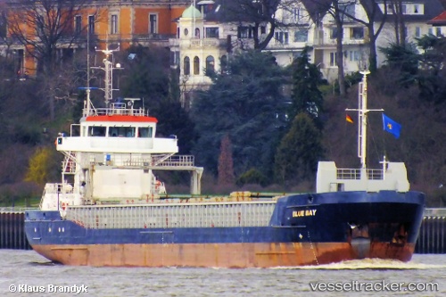
 LUCA B
Current Status
Where is the vessel?
LUCA B is currently in Near Baltrum, based on AIS data received about 1h ago.
Latest AIS update:
Current position: 53.87951° N, 7.36623° E (Near Baltrum)
Average speed (last 7 days): Loading…
Average speed (last 30 days): Loading…
Vessel profile: LUCA B is a General Cargo Ship with dimensions 90m x 15m.
This page combines live AIS, route history, probable destination signals, nearby traffic, and port activity for practical vessel monitoring.
The current position of vessel LUCA B is 53.87951 lat / 7.36623 lng. Updated: 2026-05-01 17:49:10 UTCNearest reference points:
- Near NORDERNEY
- Near NORDDEICH
- Near Wangerooge
Currently sailing under the flag of Cyprus ![]()
LUCA B built in 2006 year
Deadweight:
3843 tDetails:
Live Vessel LUCA B Analytics (details, animations, etc.)
Recent AIS points (UTC):
2026-05-01 13:30:10 UTC · 53.71555, 6.25146 · SOG 9.5 kn · COG 75°2026-05-01 13:54:10 UTC · 53.73599, 6.35163 · SOG 9.3 kn · COG 75°
2026-05-01 15:55:40 UTC · 53.80804, 6.85898 · SOG 9.5 kn · COG 78°
2026-05-01 17:49:10 UTC · 53.87951, 7.36623 · SOG 10.5 kn · COG 78°