 vesseltracker.com
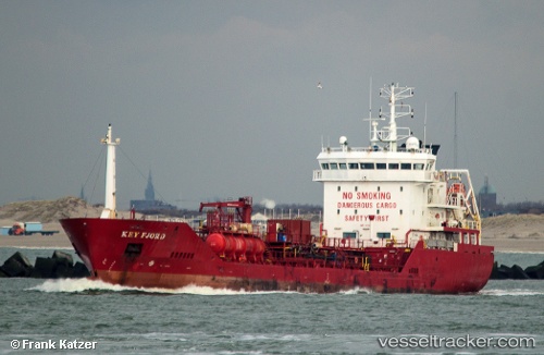
 DEE FISHER
Current Status
Where is the vessel?
DEE FISHER is currently in 22 nm N of de Ruyter, based on AIS data received less than 1h ago.
Latest AIS update:
Current position: 52.66557° N, 3.95434° E (22 nm N of de Ruyter)
Average speed (last 7 days): Loading…
Average speed (last 30 days): Loading…
Vessel profile: DEE FISHER is a Chemical/Oil Products Tanker with dimensions 100m x 15m.
This page combines live AIS, route history, probable destination signals, nearby traffic, and port activity for practical vessel monitoring.
The current position of vessel DEE FISHER is 52.66557 lat / 3.95434 lng. Updated: 2026-05-15 10:16:03 UTCNearest reference points:
- 23 nm N of de Ruyter
- 22 nm W of Schoorl
- Near de Ruyter
Currently sailing under the flag of Cyprus ![]()
DEE FISHER built in 2006 year
Deadweight:
4653 tDetails:
Live Vessel DEE FISHER Analytics (details, animations, etc.)
Recent AIS points (UTC):
2026-05-15 07:09:54 UTC · 52.34639, 3.46230 · SOG 8.2 kn · COG 40°2026-05-15 07:37:54 UTC · 52.39354, 3.53342 · SOG 8.4 kn · COG 36°
2026-05-15 10:01:24 UTC · 52.63852, 3.91723 · SOG 8.5 kn · COG 34°
2026-05-15 10:16:03 UTC · 52.66557, 3.95434 · SOG 8.8 kn · COG 35°