 vesseltracker.com
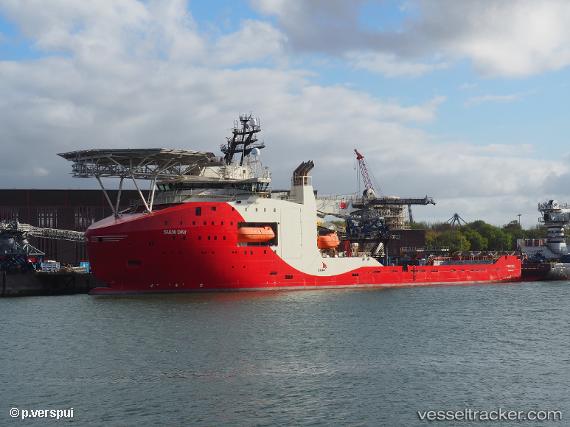
 NG SUPPORTER
Current Status
Where is the vessel?
NG SUPPORTER is currently in Near ROTTERDAM PERNIS, based on AIS data received about 92d ago.
Latest AIS update:
Current position: 51.88905° N, 4.40057° E (Near ROTTERDAM PERNIS)
Average speed (last 7 days): Loading…
Average speed (last 30 days): Loading…
Vessel profile: NG SUPPORTER is a Offshore Supply Ship with dimensions m x m.
This page combines live AIS, route history, probable destination signals, nearby traffic, and port activity for practical vessel monitoring.
The current position of vessel NG SUPPORTER is 51.88905 lat / 4.40057 lng. Updated: 2026-01-21 20:28:03 UTCNearest reference points:
- Near ROTTERDAM PERNIS
- Near Heijplaat
- Near ROTTERDAM WAALHAVEN
Details:
Live Vessel NG SUPPORTER Analytics (details, animations, etc.)
Recent AIS points (UTC):
2026-01-21 20:28:03 UTC · 51.88905, 4.40057 · SOG 0 kn · COG 18°