 vesseltracker.com
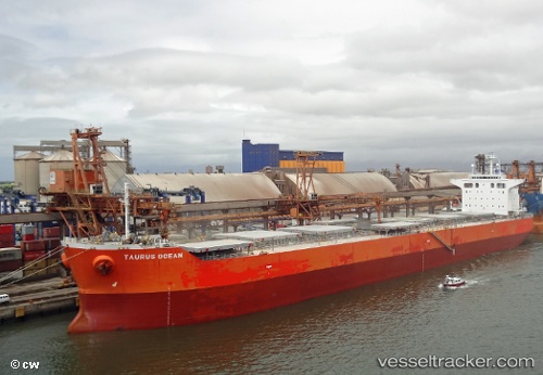
 BLUE BOSPORUS
Current Status
Where is the vessel?
BLUE BOSPORUS is currently in 181 nm S of Diego Garcia, based on AIS data received about 1h ago.
Latest AIS update:
Current position: 10.31500° S, 72.72167° E (181 nm S of Diego Garcia)
Average speed (last 7 days): Loading…
Average speed (last 30 days): Loading…
Vessel profile: BLUE BOSPORUS is a Bulk Carrier with dimensions m x m.
This page combines live AIS, route history, probable destination signals, nearby traffic, and port activity for practical vessel monitoring.
The current position of vessel BLUE BOSPORUS is -10.31500 lat / 72.72167 lng. Updated: 2026-04-24 22:19:09 UTCNearest reference points:
- 263 nm S of Diego Garcia
- 253 nm S of Diego Garcia
Currently sailing under the flag of Cyprus ![]()
Details:
Live Vessel BLUE BOSPORUS Analytics (details, animations, etc.)
Recent AIS points (UTC):
2026-04-24 20:00:50 UTC · -10.53922, 72.40997 · SOG 9.8 kn · COG 52°2026-04-24 20:13:05 UTC · -10.51667, 72.43667 · SOG 9 kn · COG -1°
2026-04-24 21:37:10 UTC · -10.38500, 72.62667 · SOG 9 kn · COG -1°
2026-04-24 22:19:09 UTC · -10.31500, 72.72167 · SOG 9 kn · COG -1°