 vesseltracker.com
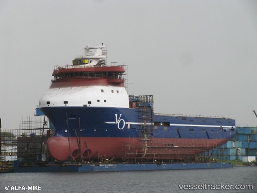
 REM CETUS
Current Status
Where is the vessel?
REM CETUS is currently in 16 nm W of Etrick Field, based on AIS data received less than 1h ago.
Latest AIS update:
Current position: 57.99327° N, 1.06559° W (16 nm W of Etrick Field)
Average speed (last 7 days): Loading…
Average speed (last 30 days): Loading…
Vessel profile: REM CETUS is a Offshore Supply Ship with dimensions m x m.
This page combines live AIS, route history, probable destination signals, nearby traffic, and port activity for practical vessel monitoring.
The current position of vessel REM CETUS is 57.99327 lat / -1.06559 lng. Updated: 2026-04-30 19:15:03 UTCNearest reference points:
- Near Peterhead
- Near PETERHEAD
- Near Aberdeen
Currently sailing under the flag of Cyprus ![]()
Details:
Live Vessel REM CETUS Analytics (details, animations, etc.)
Recent AIS points (UTC):
2026-04-30 16:25:11 UTC · 58.19539, -0.74960 · SOG 5.3 kn · COG 179°2026-04-30 16:55:12 UTC · 58.15077, -0.76400 · SOG 5.9 kn · COG 215°
2026-04-30 18:24:41 UTC · 58.06583, -0.99151 · SOG 6.3 kn · COG 196°
2026-04-30 19:15:03 UTC · 57.99327, -1.06559 · SOG 5.9 kn · COG 203°