 vesseltracker.com
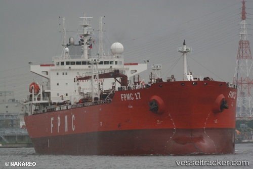
Merapi
Current StatusWhere is the vessel?
Merapi is currently in 103 nm E of Gross Koris, based on AIS data received less than 1h ago.
Latest AIS update:
Current position: 14.24938° N, 53.83736° E (103 nm E of Gross Koris)
Average speed (last 7 days): Loading…
Average speed (last 30 days): Loading…
Vessel profile: Merapi is a Chemical Oil Products Tanker with dimensions 32m x 185m.
This page combines live AIS, route history, probable destination signals, nearby traffic, and port activity for practical vessel monitoring.
The current position of vessel Merapi is 14.24938 lat / 53.83736 lng. Updated: 2026-05-16 13:38:31 UTCNearest reference points:
- 110 nm NE of Gross Koris
- 106 nm S of Port Raysut
- 103 nm S of Port Raysut
Details:
Live Vessel Merapi Analytics (details, animations, etc.)
Recent AIS points (UTC):
2026-05-16 10:29:23 UTC · 14.30451, 54.50861 · SOG 12 kn · COG 258°2026-05-16 12:10:23 UTC · 14.27667, 54.15167 · SOG 12 kn · COG -1°
2026-05-16 13:01:41 UTC · 14.26078, 53.96898 · SOG 11.9 kn · COG 259°
2026-05-16 13:38:31 UTC · 14.24938, 53.83736 · SOG 12.3 kn · COG 259°