 vesseltracker.com
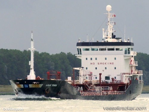
 HIRA V
Current Status
Where is the vessel?
HIRA V is currently in Near BALCHIK, based on AIS data received less than 1h ago.
Latest AIS update:
Current position: 43.40230° N, 28.16610° E (Near BALCHIK)
Average speed (last 7 days): Loading…
Average speed (last 30 days): Loading…
Vessel profile: HIRA V is a Chemical Oil Products Tanker with dimensions 114m x 17m.
This page combines live AIS, route history, probable destination signals, nearby traffic, and port activity for practical vessel monitoring.
The current position of vessel HIRA V is 43.4023 lat / 28.1661 lng. Updated: 2026-04-25 22:51:37 UTCNearest reference points:
- Near Varna
- 20 nm SE of Varna
- Near Ignatievo
Currently sailing under the flag of Malta ![]()
HIRA V built in 2001 year
Deadweight:
6744 tDetails:
Live Vessel HIRA V Analytics (details, animations, etc.)
Recent AIS points (UTC):
2026-04-25 19:24:37 UTC · 43.40230, 28.16620 · SOG 0 kn · COG 41°2026-04-25 20:00:35 UTC · 43.40230, 28.16610 · SOG 0 kn · COG 42°
2026-04-25 21:51:36 UTC · 43.40230, 28.16610 · SOG 0 kn · COG 41°
2026-04-25 22:51:37 UTC · 43.40230, 28.16610 · SOG 0 kn · COG 41°