 vesseltracker.com
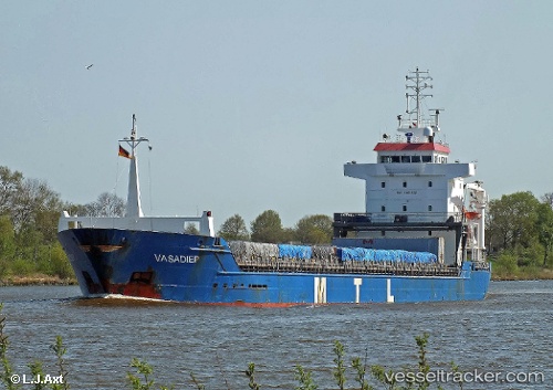
 KETHI
KETHI
Current Status
Where is the vessel?
KETHI is currently in 13 nm W of Kalana, based on AIS data received less than 1h ago.
Latest AIS update:
Current position: 58.97150° N, 21.64540° E (13 nm W of Kalana)
Average speed (last 7 days): Loading…
Average speed (last 30 days): Loading…
Vessel profile: KETHI is a General Cargo Ship with dimensions 118m x 15m.
This page combines live AIS, route history, probable destination signals, nearby traffic, and port activity for practical vessel monitoring.
The current position of vessel KETHI is 58.9715 lat / 21.6454 lng. Updated: 2026-05-15 04:15:57 UTCNearest reference points:
- 20 nm W of Kalana
- 37 nm W of Vikati Sadam
- 18 nm N of Ventspils
Currently sailing under the flag of Malta ![]()
KETHI built in 2002 year
Deadweight:
8370 tDetails:
Live Vessel KETHI Analytics (details, animations, etc.)
Recent AIS points (UTC):
2026-05-15 00:02:29 UTC · 58.35590, 20.70100 · SOG 11.1 kn · COG 40°2026-05-15 01:01:35 UTC · 58.49940, 20.91370 · SOG 11.3 kn · COG 38°
2026-05-15 04:04:08 UTC · 58.94070, 21.60770 · SOG 11 kn · COG 34°
2026-05-15 04:15:57 UTC · 58.97150, 21.64540 · SOG 11.1 kn · COG 34°