 vesseltracker.com
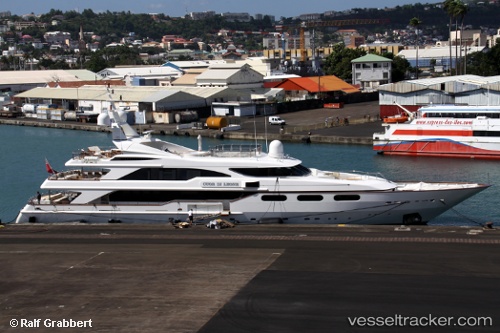
 BARENTS
Current Status
Where is the vessel?
BARENTS is currently in Near Eleusis, based on AIS data received about 1d ago.
Latest AIS update:
Current position: 38.03620° N, 23.49950° E (Near Eleusis)
Average speed (last 7 days): Loading…
Average speed (last 30 days): Loading…
Vessel profile: BARENTS is a Houseboat with dimensions 50m x 9m.
This page combines live AIS, route history, probable destination signals, nearby traffic, and port activity for practical vessel monitoring.
The current position of vessel BARENTS is 38.0362 lat / 23.4995 lng. Updated: 2026-04-10 07:41:35 UTCNearest reference points:
- Near PERAMA
- Near Keratsínion
- Near Drapetzona
Currently sailing under the flag of Malta ![]()
BARENTS built in 1999 year
Deadweight:
90 tDetails:
Live Vessel BARENTS Analytics (details, animations, etc.)
Recent AIS points (UTC):
2026-04-10 02:14:37 UTC · 38.03620, 23.49950 · SOG 0 kn · COG 300°2026-04-10 03:59:31 UTC · 38.03620, 23.49940 · SOG 0 kn · COG 300°
2026-04-10 05:35:34 UTC · 38.03620, 23.49940 · SOG 0 kn · COG 300°
2026-04-10 07:41:35 UTC · 38.03620, 23.49950 · SOG 0 kn · COG 300°