 vesseltracker.com
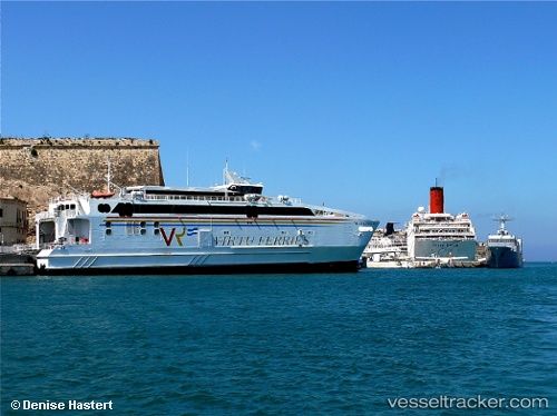
 Maria Dolores
Current Status
Where is the vessel?
Maria Dolores is currently in Near TARIFA, based on AIS data received less than 1h ago.
Latest AIS update:
Current position: 36.00410° N, 5.60346° W (Near TARIFA)
Average speed (last 7 days): Loading…
Average speed (last 30 days): Loading…
Vessel profile: Maria Dolores is a Passenger Ro Ro Cargo Ship with dimensions 68m x 18m.
This page combines live AIS, route history, probable destination signals, nearby traffic, and port activity for practical vessel monitoring.
The current position of vessel Maria Dolores is 36.0041 lat / -5.60346 lng. Updated: 2026-05-02 14:00:45 UTCNearest reference points:
- Near TARIFA
- Near TANGER MED
- Near Algeciras
Currently sailing under the flag of Malta ![]()
Maria Dolores built in 2006 year
Deadweight:
260 tDetails:
Live Vessel Maria Dolores Analytics (details, animations, etc.)
Recent AIS points (UTC):
2026-05-02 10:14:49 UTC · 36.00970, -5.60188 · SOG 0 kn · COG 168°2026-05-02 11:44:04 UTC · 35.78960, -5.80308 · SOG 0 kn · COG 75°
2026-05-02 13:37:15 UTC · 36.00970, -5.60191 · SOG 0 kn · COG 168°
2026-05-02 14:00:45 UTC · 36.00410, -5.60346 · SOG 5.3 kn · COG 160°