 vesseltracker.com
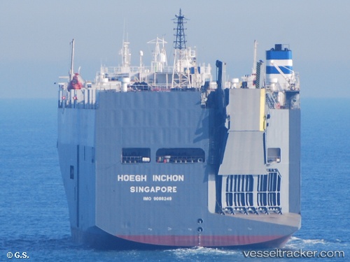
 PELAGIC PIRANHA
Current Status
Where is the vessel?
PELAGIC PIRANHA is currently in 12 nm SE of Port Shepstone, based on AIS data received less than 1h ago.
Latest AIS update:
Current position: 30.88160° S, 30.61230° E (12 nm SE of Port Shepstone)
Average speed (last 7 days): Loading…
Average speed (last 30 days): Loading…
Vessel profile: PELAGIC PIRANHA is a Vehicles Carrier with dimensions 32m x 180m.
This page combines live AIS, route history, probable destination signals, nearby traffic, and port activity for practical vessel monitoring.
The current position of vessel PELAGIC PIRANHA is -30.8816 lat / 30.6123 lng. Updated: 2026-04-22 23:34:17 UTCNearest reference points:
- 23 nm E of Port Saint John's
- Near Island View
- Near Durban
Currently sailing under the flag of Malta ![]()
PELAGIC PIRANHA built in 1997 year
Deadweight:
12490 tDetails:
Live Vessel PELAGIC PIRANHA Analytics (details, animations, etc.)
Recent AIS points (UTC):
2026-04-22 19:42:13 UTC · -30.11130, 31.12780 · SOG 12.6 kn · COG 208°2026-04-22 21:49:42 UTC · -30.51340, 30.84400 · SOG 13.4 kn · COG 202°
2026-04-22 22:31:11 UTC · -30.66250, 30.75830 · SOG 13.8 kn · COG 202°
2026-04-22 23:34:17 UTC · -30.88160, 30.61230 · SOG 14.9 kn · COG 210°