 vesseltracker.com
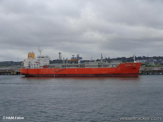
Atlanticgas
Current StatusWhere is the vessel?
Atlanticgas is currently in Open sea (no nearby ports in database), based on AIS data received about 1h ago.
Latest AIS update:
Current position: 13.29286° S, 23.47444° W (Open sea (no nearby ports in database))
Average speed (last 7 days): Loading…
Average speed (last 30 days): Loading…
Vessel profile: Atlanticgas is a Lpg Tanker with dimensions 27m x 160m.
This page combines live AIS, route history, probable destination signals, nearby traffic, and port activity for practical vessel monitoring.
The current position of vessel Atlanticgas is -13.29286 lat / -23.47444 lng. Updated: 2026-05-15 19:35:08 UTCNearest reference points:
- Open sea (no nearby ports in database)
Details:
Live Vessel Atlanticgas Analytics (details, animations, etc.)
Recent AIS points (UTC):
2026-05-15 16:13:04 UTC · -12.90385, -23.97669 · SOG 11 kn · COG 126°2026-05-15 17:34:46 UTC · -13.05979, -23.77454 · SOG 11 kn · COG 126°
2026-05-15 19:35:08 UTC · -13.29286, -23.47444 · SOG 11 kn · COG 123°
2026-05-15 19:35:08 UTC · -13.29286, -23.47444 · SOG 11 kn · COG 123°