 vesseltracker.com
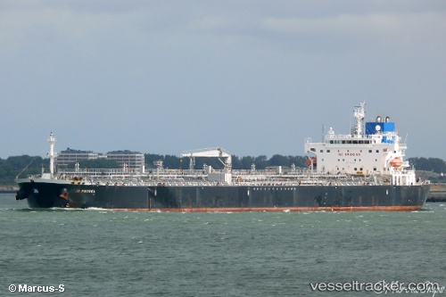
 TORM EMILIE
Current Status
Where is the vessel?
TORM EMILIE is currently in 15 nm NW of ALDERNEY, based on AIS data received less than 1h ago.
Latest AIS update:
Current position: 49.89458° N, 2.48543° W (15 nm NW of ALDERNEY)
Average speed (last 7 days): Loading…
Average speed (last 30 days): Loading…
Vessel profile: TORM EMILIE is a Oil Products Tanker with dimensions m x m.
This page combines live AIS, route history, probable destination signals, nearby traffic, and port activity for practical vessel monitoring.
The current position of vessel TORM EMILIE is 49.89458 lat / -2.48543 lng. Updated: 2026-05-15 01:13:35 UTCNearest reference points:
- 23 nm NW of Saint Sampson
- Near ALDERNEY
- Near Saint Sampson
Currently sailing under the flag of Denmark ![]()
Details:
Live Vessel TORM EMILIE Analytics (details, animations, etc.)
Recent AIS points (UTC):
2026-05-14 22:24:34 UTC · 49.75667, -3.21013 · SOG 10.7 kn · COG 73°2026-05-14 22:56:54 UTC · 49.78681, -3.07012 · SOG 10.5 kn · COG 68°
2026-05-14 23:48:15 UTC · 49.83048, -2.85140 · SOG 10.3 kn · COG 72°
2026-05-15 01:13:35 UTC · 49.89458, -2.48543 · SOG 10.5 kn · COG 70°