 vesseltracker.com
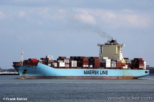
 MAERSK LUZ
Current Status
Where is the vessel?
MAERSK LUZ is currently in 117 nm NE of Port Orange, based on AIS data received about 2h ago.
Latest AIS update:
Current position: 29.86896° N, 78.90956° W (117 nm NE of Port Orange)
Average speed (last 7 days): Loading…
Average speed (last 30 days): Loading…
Vessel profile: MAERSK LUZ is a Container Ship with dimensions m x m.
This page combines live AIS, route history, probable destination signals, nearby traffic, and port activity for practical vessel monitoring.
The current position of vessel MAERSK LUZ is 29.86896 lat / -78.90956 lng. Updated: 2026-04-29 09:14:21 UTCNearest reference points:
- 27 nm NE of Port Canaveral
- Near Port Canaveral
- Near Indian River City
Currently sailing under the flag of Denmark ![]()
Details:
Live Vessel MAERSK LUZ Analytics (details, animations, etc.)
Recent AIS points (UTC):
2026-04-29 05:01:14 UTC · 29.18978, -78.39887 · SOG 11.6 kn · COG 327°2026-04-29 05:01:14 UTC · 29.18978, -78.39887 · SOG 11.6 kn · COG 327°
2026-04-29 09:14:21 UTC · 29.86896, -78.90956 · SOG 11.4 kn · COG 330°
2026-04-29 09:14:21 UTC · 29.86896, -78.90956 · SOG 11.4 kn · COG 330°