 vesseltracker.com
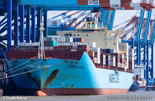
 MAERSK LETICIA
Current Status
Where is the vessel?
MAERSK LETICIA is currently in 13 nm NW of Oostende, based on AIS data received about 1h ago.
Latest AIS update:
Current position: 51.37989° N, 2.65689° E (13 nm NW of Oostende)
Average speed (last 7 days): Loading…
Average speed (last 30 days): Loading…
Vessel profile: MAERSK LETICIA is a Container Ship with dimensions m x m.
This page combines live AIS, route history, probable destination signals, nearby traffic, and port activity for practical vessel monitoring.
The current position of vessel MAERSK LETICIA is 51.37989 lat / 2.65689 lng. Updated: 2026-04-28 21:52:50 UTCNearest reference points:
- 13 nm NW of Middelkerke
- Near Lombardsijde
- Near Oostende
Currently sailing under the flag of Denmark ![]()
Details:
Live Vessel MAERSK LETICIA Analytics (details, animations, etc.)
Recent AIS points (UTC):
2026-04-28 16:47:04 UTC · 51.37017, 4.21953 · SOG 13.4 kn · COG 345°2026-04-28 18:20:21 UTC · 51.35019, 3.80196 · SOG 15.4 kn · COG 300°
2026-04-28 19:29:05 UTC · 51.42321, 3.52007 · SOG 15.1 kn · COG 259°
2026-04-28 21:52:50 UTC · 51.37989, 2.65689 · SOG 11.5 kn · COG 241°