 vesseltracker.com
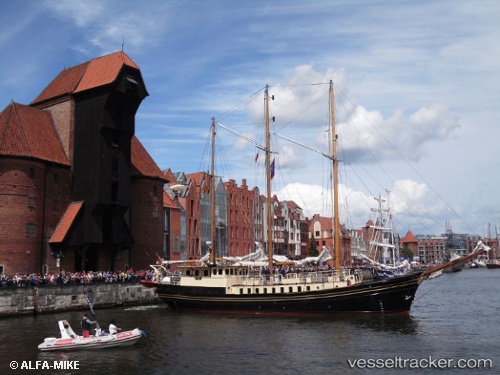
 Skonnerten Jylland
Current Status
Where is the vessel?
Skonnerten Jylland is currently in Near THYBORON, based on AIS data received about 2h ago.
Latest AIS update:
Current position: 56.69290° N, 8.22250° E (Near THYBORON)
Average speed (last 7 days): Loading…
Average speed (last 30 days): Loading…
Vessel profile: Skonnerten Jylland is a Cruise Ship with dimensions 31m x 6m.
This page combines live AIS, route history, probable destination signals, nearby traffic, and port activity for practical vessel monitoring.
The current position of vessel Skonnerten Jylland is 56.69290 lat / 8.22250 lng. Updated: 2026-04-24 07:41:11 UTCNearest reference points:
- Near Thyborøn
- Near Kleppen
- Near HANSTHOLM
Currently sailing under the flag of Denmark ![]()
Skonnerten Jylland built in 1951 year
Deadweight:
218 tDetails:
Live Vessel Skonnerten Jylland Analytics (details, animations, etc.)
Recent AIS points (UTC):
2026-04-24 04:29:35 UTC · 56.69289, 8.22247 · SOG 0 kn · COG 72°2026-04-24 05:56:11 UTC · 56.69289, 8.22250 · SOG 0 kn · COG 72°
2026-04-24 07:03:08 UTC · 56.69288, 8.22249 · SOG 0 kn · COG 72°
2026-04-24 07:41:11 UTC · 56.69290, 8.22250 · SOG 0 kn · COG 72°