 vesseltracker.com
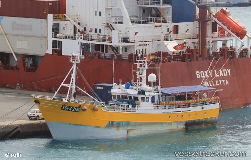
Cedes
Current StatusWhere is the vessel?
Cedes is currently in Near Mindelo, based on AIS data received about 138d ago.
Latest AIS update:
Current position: 16.88998° N, 24.99677° W (Near Mindelo)
Average speed (last 7 days): Loading…
Average speed (last 30 days): Loading…
Vessel profile: Cedes is a Fishing Vessel with dimensions 7m x 31m.
This page combines live AIS, route history, probable destination signals, nearby traffic, and port activity for practical vessel monitoring.
The current position of vessel Cedes is 16.88998 lat / -24.99677 lng. Updated: 2025-12-27 17:34:57 UTCNearest reference points:
- 39 nm W of Ilha do Sal
- 100 nm N of Porto Grande
- 102 nm N of Porto Grande
Details:
Live Vessel Cedes Analytics (details, animations, etc.)
Recent AIS points (UTC):
2025-12-27 17:34:57 UTC · 16.88998, -24.99677 · SOG 0.1 kn · COG 267°