 vesseltracker.com
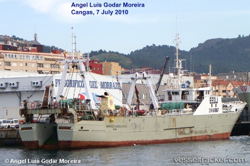
Hermanos Gandon 4
Current StatusWhere is the vessel?
Hermanos Gandon 4 is currently in 242 nm NE of Puerto Deseado, based on AIS data received less than 1h ago.
Latest AIS update:
Current position: 46.05807° S, 60.55284° W (242 nm NE of Puerto Deseado)
Average speed (last 7 days): Loading…
Average speed (last 30 days): Loading…
Vessel profile: Hermanos Gandon 4 is a Fishing Vessel with dimensions 10m x 67m.
This page combines live AIS, route history, probable destination signals, nearby traffic, and port activity for practical vessel monitoring.
The current position of vessel Hermanos Gandon 4 is -46.05807 lat / -60.55284 lng. Updated: 2026-05-13 21:47:57 UTCDetails:
Live Vessel Hermanos Gandon 4 Analytics (details, animations, etc.)
Recent AIS points (UTC):
2026-05-13 17:23:56 UTC · -46.37693, -60.50298 · SOG 4.8 kn · COG 5°2026-05-13 19:35:56 UTC · -46.20878, -60.49185 · SOG 4.6 kn · COG 355°
2026-05-13 19:51:57 UTC · -46.18865, -60.49246 · SOG 4.5 kn · COG 354°
2026-05-13 21:47:57 UTC · -46.05807, -60.55284 · SOG 3.9 kn · COG 321°