 vesseltracker.com
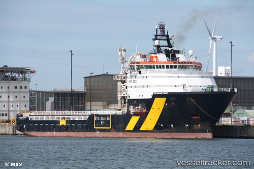
 ILE DE MOLENE
Current Status
Where is the vessel?
ILE DE MOLENE is currently in 188 nm S of Southampton, based on AIS data received less than 1h ago.
Latest AIS update:
Current position: 29.15167° N, 65.30833° W (188 nm S of Southampton)
Average speed (last 7 days): Loading…
Average speed (last 30 days): Loading…
Vessel profile: ILE DE MOLENE is a Cable-Layer with dimensions 93m x 22m.
This page combines live AIS, route history, probable destination signals, nearby traffic, and port activity for practical vessel monitoring.
The current position of vessel ILE DE MOLENE is 29.15167 lat / -65.30833 lng. Updated: 2026-05-14 11:50:28 UTCNearest reference points:
- 328 nm W of Villa Elisa
Currently sailing under the flag of France (RIF) ![]()
ILE DE MOLENE built in 2006 year
Deadweight:
3562 tDetails:
Live Vessel ILE DE MOLENE Analytics (details, animations, etc.)
Recent AIS points (UTC):
2026-05-14 07:40:42 UTC · 29.91167, -65.13833 · SOG 11 kn · COG -1°2026-05-14 09:44:05 UTC · 29.53500, -65.22667 · SOG 11 kn · COG -1°
2026-05-14 11:14:19 UTC · 29.26167, -65.28333 · SOG 11 kn · COG -1°
2026-05-14 11:50:28 UTC · 29.15167, -65.30833 · SOG 11 kn · COG -1°