 vesseltracker.com
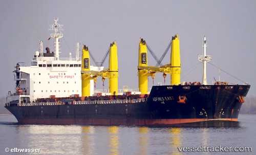
 Veslets
Current Status
Where is the vessel?
Veslets is currently in 21 nm E of SANTAREM, based on AIS data received less than 1h ago.
Latest AIS update:
Current position: 2.41861° S, 54.36865° W (21 nm E of SANTAREM)
Average speed (last 7 days): Loading…
Average speed (last 30 days): Loading…
Vessel profile: Veslets is a Bulk Carrier with dimensions 190m x 190m.
This page combines live AIS, route history, probable destination signals, nearby traffic, and port activity for practical vessel monitoring.
The current position of vessel Veslets is -2.41861 lat / -54.36865 lng. Updated: 2026-05-14 04:16:40 UTCNearest reference points:
- 15 nm NW of SANTAREM
Currently sailing under the flag of Malta ![]()
Veslets built in 2012 year
Deadweight:
36940 tDetails:
Live Vessel Veslets Analytics (details, animations, etc.)
Recent AIS points (UTC):
2026-05-14 01:03:14 UTC · -2.18295, -54.05019 · SOG 8.1 kn · COG 180°2026-05-14 01:26:39 UTC · -2.23798, -54.04976 · SOG 8.5 kn · COG 175°
2026-05-14 03:27:28 UTC · -2.39496, -54.25007 · SOG 8.9 kn · COG 260°
2026-05-14 04:16:40 UTC · -2.41861, -54.36865 · SOG 9.5 kn · COG 255°