 vesseltracker.com
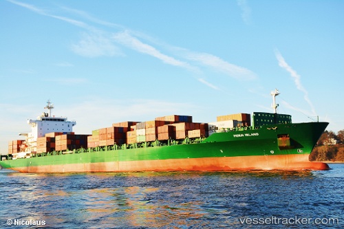
 CMA CGM SAN ANTONIO
Current Status
Where is the vessel?
CMA CGM SAN ANTONIO is currently in 21 nm N of Umm al Quwain, based on AIS data received about 1h ago.
Latest AIS update:
Current position: 25.90819° N, 55.44116° E (21 nm N of Umm al Quwain)
Average speed (last 7 days): Loading…
Average speed (last 30 days): Loading…
Vessel profile: CMA CGM SAN ANTONIO is a Container Ship with dimensions 30m x 222m.
This page combines live AIS, route history, probable destination signals, nearby traffic, and port activity for practical vessel monitoring.
The current position of vessel CMA CGM SAN ANTONIO is 25.90819 lat / 55.44116 lng. Updated: 2026-04-24 19:27:02 UTCNearest reference points:
- 13 nm NW of Hulaylah Terminal
- Near Hulaylah Terminal
- Near AJMAN
Currently sailing under the flag of Malta ![]()
CMA CGM SAN ANTONIO built in 2005 year
Deadweight:
39333 tDetails:
Live Vessel CMA CGM SAN ANTONIO Analytics (details, animations, etc.)
Recent AIS points (UTC):
2026-04-24 15:36:24 UTC · 25.90851, 55.44103 · SOG 0 kn · COG 80°2026-04-24 17:48:25 UTC · 25.90851, 55.44101 · SOG 0 kn · COG 55°
2026-04-24 18:03:25 UTC · 25.90855, 55.44092 · SOG 0 kn · COG 60°
2026-04-24 19:27:02 UTC · 25.90819, 55.44116 · SOG 0 kn · COG 55°