 vesseltracker.com
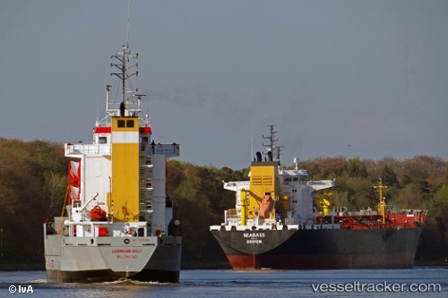
 Hav Atlantic
Current Status
Where is the vessel?
Hav Atlantic is currently in 17 nm N of de Ruyter, based on AIS data received less than 1h ago.
Latest AIS update:
Current position: 52.57769° N, 3.95606° E (17 nm N of de Ruyter)
Average speed (last 7 days): Loading…
Average speed (last 30 days): Loading…
Vessel profile: Hav Atlantic is a Multi Purpose Carrier with dimensions 90m x 14m.
This page combines live AIS, route history, probable destination signals, nearby traffic, and port activity for practical vessel monitoring.
The current position of vessel Hav Atlantic is 52.57769 lat / 3.95606 lng. Updated: 2026-04-29 16:10:34 UTCNearest reference points:
- 23 nm N of de Ruyter
- 22 nm W of Schoorl
- Near de Ruyter
Currently sailing under the flag of Faroe Is ![]()
Hav Atlantic built in 1996 year
Deadweight:
4200 tDetails:
Live Vessel Hav Atlantic Analytics (details, animations, etc.)
Recent AIS points (UTC):
2026-04-29 13:47:24 UTC · 52.22469, 3.88290 · SOG 9.1 kn · COG 344°2026-04-29 14:16:14 UTC · 52.29697, 3.86058 · SOG 9.1 kn · COG 349°
2026-04-29 15:42:33 UTC · 52.51594, 3.90652 · SOG 9.2 kn · COG 8°
2026-04-29 16:10:34 UTC · 52.57769, 3.95606 · SOG 9 kn · COG 29°