 vesseltracker.com
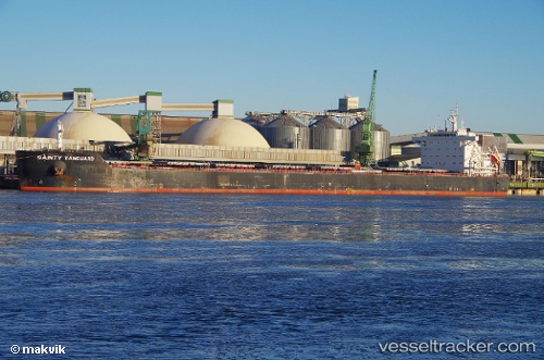
 Anglo Red
Current Status
Where is the vessel?
Anglo Red is currently in Near Gangneung, based on AIS data received about 2h ago.
Latest AIS update:
Current position: 37.74714° N, 128.99098° E (Near Gangneung)
Average speed (last 7 days): Loading…
Average speed (last 30 days): Loading…
Vessel profile: Anglo Red is a Bulk Carrier with dimensions 229m x 229m.
This page combines live AIS, route history, probable destination signals, nearby traffic, and port activity for practical vessel monitoring.
The current position of vessel Anglo Red is 37.74714 lat / 128.99098 lng. Updated: 2026-04-12 11:39:51 UTCNearest reference points:
- Near DONGHAE
- 16 nm N of Yeongyang-gun
- 23 nm SE of Yeongyang-gun
Currently sailing under the flag of United Kingdom ![]()
Anglo Red built in 2013 year
Deadweight:
82000 tDetails:
Live Vessel Anglo Red Analytics (details, animations, etc.)
Recent AIS points (UTC):
2026-04-12 05:09:50 UTC · 37.74713, 128.99101 · SOG 0 kn · COG 311°2026-04-12 07:09:46 UTC · 37.74709, 128.99101 · SOG 0 kn · COG 311°
2026-04-12 09:39:44 UTC · 37.74713, 128.99100 · SOG 0 kn · COG 311°
2026-04-12 11:39:51 UTC · 37.74714, 128.99098 · SOG 0 kn · COG 311°