 vesseltracker.com
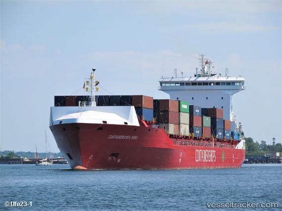
 CONTAINERSHIPS NORD
Current Status
Where is the vessel?
CONTAINERSHIPS NORD is currently in Near ESB Poolbeg-Dublin, based on AIS data received less than 1h ago.
Latest AIS update:
Current position: 53.34379° N, 6.18925° W (Near ESB Poolbeg-Dublin)
Average speed (last 7 days): Loading…
Average speed (last 30 days): Loading…
Vessel profile: CONTAINERSHIPS NORD is a Cargo A with dimensions m x m.
This page combines live AIS, route history, probable destination signals, nearby traffic, and port activity for practical vessel monitoring.
The current position of vessel CONTAINERSHIPS NORD is 53.34379 lat / -6.18925 lng. Updated: 2026-05-01 19:57:03 UTCNearest reference points:
- Near Dun Laoghaire
- Near HOWTH
- Near WICKLOW
Currently sailing under the flag of United Kingdom ![]()
Details:
Live Vessel CONTAINERSHIPS NORD Analytics (details, animations, etc.)
Recent AIS points (UTC):
2026-05-01 16:05:38 UTC · 53.32106, -6.07978 · SOG 0 kn · COG 169°2026-05-01 18:23:39 UTC · 53.32122, -6.07956 · SOG 0 kn · COG 172°
2026-05-01 19:11:22 UTC · 53.31957, -6.08309 · SOG 0.9 kn · COG 117°
2026-05-01 19:57:03 UTC · 53.34379, -6.18925 · SOG 4 kn · COG 267°