 vesseltracker.com
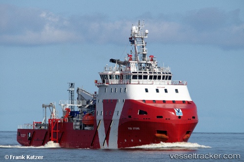
 WIND CREATION
Current Status
Where is the vessel?
WIND CREATION is currently in 32 nm E of Cape Henry, based on AIS data received about 1h ago.
Latest AIS update:
Current position: 36.99104° N, 75.34801° W (32 nm E of Cape Henry)
Average speed (last 7 days): Loading…
Average speed (last 30 days): Loading…
Vessel profile: WIND CREATION is a Cargo with dimensions m x m.
This page combines live AIS, route history, probable destination signals, nearby traffic, and port activity for practical vessel monitoring.
The current position of vessel WIND CREATION is 36.99104 lat / -75.34801 lng. Updated: 2026-05-15 05:46:38 UTCNearest reference points:
- 26 nm E of Corolla
- Near New Point
- Near Little Creek
Currently sailing under the flag of United Kingdom ![]()
Details:
Live Vessel WIND CREATION Analytics (details, animations, etc.)
Recent AIS points (UTC):
2026-05-15 03:57:13 UTC · 36.91716, -75.32845 · SOG 8.9 kn · COG 345°2026-05-15 04:13:32 UTC · 36.95746, -75.33525 · SOG 8.9 kn · COG 351°
2026-05-15 05:20:52 UTC · 36.99263, -75.34779 · SOG 0 kn · COG 154°
2026-05-15 05:46:38 UTC · 36.99104, -75.34801 · SOG 2.4 kn · COG 154°