 vesseltracker.com
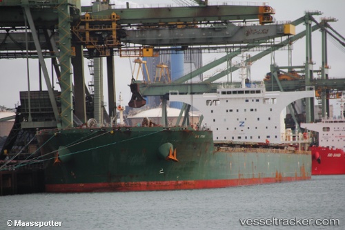
 Cape Stork
Current Status
Where is the vessel?
Cape Stork is currently in 136 nm SE of Coral Sea, based on AIS data received less than 1h ago.
Latest AIS update:
Current position: 20.20577° S, 152.99373° E (136 nm SE of Coral Sea)
Average speed (last 7 days): Loading…
Average speed (last 30 days): Loading…
Vessel profile: Cape Stork is a Bulk Carrier with dimensions 291m x 45m.
This page combines live AIS, route history, probable destination signals, nearby traffic, and port activity for practical vessel monitoring.
The current position of vessel Cape Stork is -20.20577 lat / 152.99373 lng. Updated: 2026-05-16 14:22:09 UTCNearest reference points:
- 153 nm NE of Coral Sea
Currently sailing under the flag of United Kingdom ![]()
Cape Stork built in 2011 year
Deadweight:
175611 tDetails:
Live Vessel Cape Stork Analytics (details, animations, etc.)
Recent AIS points (UTC):
2026-05-16 10:48:41 UTC · -19.59682, 152.92729 · SOG 10.2 kn · COG 171°2026-05-16 11:48:30 UTC · -19.76589, 152.93810 · SOG 9.9 kn · COG 167°
2026-05-16 13:27:50 UTC · -20.05222, 152.98117 · SOG 10.3 kn · COG 174°
2026-05-16 14:22:09 UTC · -20.20577, 152.99373 · SOG 10.2 kn · COG 174°