 vesseltracker.com
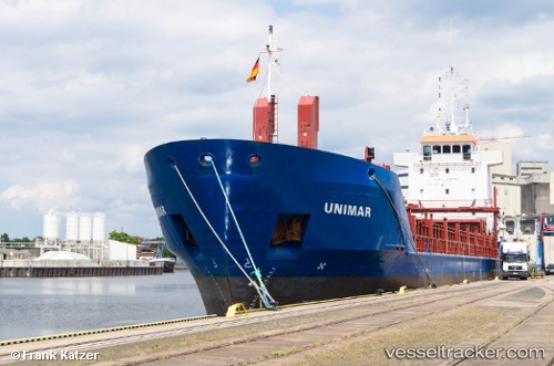
 Soniland
Current Status
Where is the vessel?
Soniland is currently in Near Rauma, based on AIS data received less than 1h ago.
Latest AIS update:
Current position: 61.12678° N, 21.46127° E (Near Rauma)
Average speed (last 7 days): Loading…
Average speed (last 30 days): Loading…
Vessel profile: Soniland is a Multi Purpose Carrier with dimensions 90m x 90m.
This page combines live AIS, route history, probable destination signals, nearby traffic, and port activity for practical vessel monitoring.
The current position of vessel Soniland is 61.12678 lat / 21.46127 lng. Updated: 2026-05-15 13:59:08 UTCNearest reference points:
- Near Rouhu
- Near Pansio
- Near Turku
Currently sailing under the flag of Gibraltar ![]()
Soniland built in 1997 year
Deadweight:
4085 tDetails:
Live Vessel Soniland Analytics (details, animations, etc.)
Recent AIS points (UTC):
2026-05-15 10:29:06 UTC · 61.12680, 21.46126 · SOG 0 kn · COG 278°2026-05-15 11:41:03 UTC · 61.12677, 21.46127 · SOG 0 kn · COG 278°
2026-05-15 13:41:07 UTC · 61.12679, 21.46122 · SOG 0 kn · COG 278°
2026-05-15 13:59:08 UTC · 61.12678, 21.46127 · SOG 0 kn · COG 278°