 vesseltracker.com
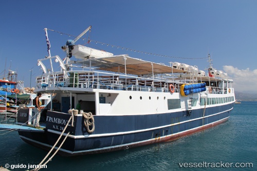
Porto Gramvusa
Current StatusWhere is the vessel?
Porto Gramvusa is currently in Near KISSAMOS, based on AIS data received about 1h ago.
Latest AIS update:
Current position: 35.51727° N, 23.63750° E (Near KISSAMOS)
Average speed (last 7 days): Loading…
Average speed (last 30 days): Loading…
Vessel profile: Porto Gramvusa is a Passenger Ship with dimensions 7m x 40m.
This page combines live AIS, route history, probable destination signals, nearby traffic, and port activity for practical vessel monitoring.
The current position of vessel Porto Gramvusa is 35.51727 lat / 23.63750 lng. Updated: 2026-05-16 14:02:06 UTCNearest reference points:
- Near Kythira
- 59 nm W of Paleochora
- 17 nm W of Milos (Adamas)
Details:
Live Vessel Porto Gramvusa Analytics (details, animations, etc.)
Recent AIS points (UTC):
2026-05-16 10:58:48 UTC · 35.51725, 23.63750 · SOG 0 kn · COG -1°2026-05-16 11:53:21 UTC · 35.51727, 23.63750 · SOG 0 kn · COG -1°
2026-05-16 13:31:38 UTC · 35.51727, 23.63750 · SOG 0 kn · COG -1°
2026-05-16 14:02:06 UTC · 35.51727, 23.63750 · SOG 0 kn · COG -1°