 vesseltracker.com
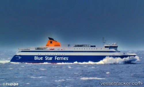
 Blue Star Paros
Current Status
Where is the vessel?
Blue Star Paros is currently in Near Tínos, based on AIS data received about 1h ago.
Latest AIS update:
Current position: 37.51810° N, 25.17497° E (Near Tínos)
Average speed (last 7 days): Loading…
Average speed (last 30 days): Loading…
Vessel profile: Blue Star Paros is a Passenger Ro Ro Cargo Ship with dimensions 124m x 19m.
This page combines live AIS, route history, probable destination signals, nearby traffic, and port activity for practical vessel monitoring.
The current position of vessel Blue Star Paros is 37.51810 lat / 25.17497 lng. Updated: 2026-04-29 11:43:13 UTCNearest reference points:
- Near MYKONOS OLD PORT
- Near Delos
- Near PISO LIVADI
Currently sailing under the flag of Greece ![]()
Blue Star Paros built in 2002 year
Deadweight:
1896 tDetails:
Live Vessel Blue Star Paros Analytics (details, animations, etc.)
Recent AIS points (UTC):
2026-04-29 07:39:26 UTC · 37.51905, 24.57928 · SOG 20.4 kn · COG 84°2026-04-29 10:25:33 UTC · 37.48463, 25.24965 · SOG 20.9 kn · COG 115°
2026-04-29 10:43:39 UTC · 37.46365, 25.32330 · SOG 0 kn · COG 204°
2026-04-29 11:43:13 UTC · 37.51810, 25.17497 · SOG 21.2 kn · COG 295°