 vesseltracker.com
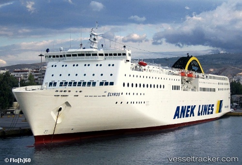
Elyros
Current StatusWhere is the vessel?
Elyros is currently in Near Piraeus, based on AIS data received less than 1h ago.
Latest AIS update:
Current position: 37.94732° N, 23.63726° E (Near Piraeus)
Average speed (last 7 days): Loading…
Average speed (last 30 days): Loading…
Vessel profile: Elyros is a Passenger Ro Ro Cargo Ship with dimensions 27m x 192m.
This page combines live AIS, route history, probable destination signals, nearby traffic, and port activity for practical vessel monitoring.
The current position of vessel Elyros is 37.94732 lat / 23.63726 lng. Updated: 2026-04-26 06:05:52 UTCNearest reference points:
- Near ZEA
- Near Piraeus
- Near Drapetzona
Details:
Live Vessel Elyros Analytics (details, animations, etc.)
Recent AIS points (UTC):
2026-04-26 01:48:19 UTC · 37.54259, 23.82751 · SOG 20.3 kn · COG 337°2026-04-26 03:53:55 UTC · 37.94731, 23.63726 · SOG 0 kn · COG 173°
2026-04-26 04:23:55 UTC · 37.94730, 23.63727 · SOG 0 kn · COG 173°
2026-04-26 06:05:52 UTC · 37.94732, 23.63726 · SOG 0 kn · COG 173°