 vesseltracker.com
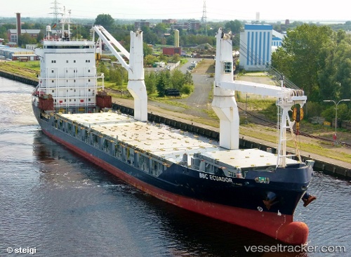
 Onego Rio
Current Status
Where is the vessel?
Onego Rio is currently in Near Golspie, based on AIS data received less than 1h ago.
Latest AIS update:
Current position: 57.93665° N, 3.89160° W (Near Golspie)
Average speed (last 7 days): Loading…
Average speed (last 30 days): Loading…
Vessel profile: Onego Rio is a Multi Purpose Carrier with dimensions 143m x 18m.
This page combines live AIS, route history, probable destination signals, nearby traffic, and port activity for practical vessel monitoring.
The current position of vessel Onego Rio is 57.93665 lat / -3.89160 lng. Updated: 2026-03-29 14:19:05 UTCNearest reference points:
- Near Findhorn
- Near Fortrose
- Near Forres
Currently sailing under the flag of Netherlands ![]()
Onego Rio built in 2003 year
Deadweight:
10300 tDetails:
Live Vessel Onego Rio Analytics (details, animations, etc.)
Recent AIS points (UTC):
2026-03-29 08:22:03 UTC · 57.93797, -3.89282 · SOG 0.2 kn · COG 246°2026-03-29 09:52:06 UTC · 57.93854, -3.89422 · SOG 0.6 kn · COG 192°
2026-03-29 11:40:08 UTC · 57.93577, -3.89164 · SOG 0.3 kn · COG 297°
2026-03-29 14:19:05 UTC · 57.93665, -3.89160 · SOG 1 kn · COG 273°