 vesseltracker.com
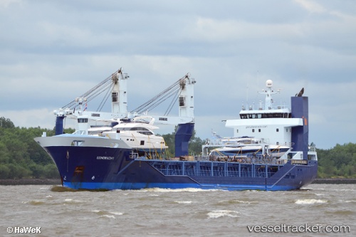
Eendracht
Current StatusWhere is the vessel?
Eendracht is currently in Near Skanör, based on AIS data received about 2h ago.
Latest AIS update:
Current position: 55.39226° N, 12.65130° E (Near Skanör)
Average speed (last 7 days): Loading…
Average speed (last 30 days): Loading…
Vessel profile: Eendracht is a General Cargo Ship with dimensions 16m x 105m.
This page combines live AIS, route history, probable destination signals, nearby traffic, and port activity for practical vessel monitoring.
The current position of vessel Eendracht is 55.39226 lat / 12.65130 lng. Updated: 2026-03-29 01:23:08 UTCNearest reference points:
- Near Skanör
- Near Rødvig Havn
- Near Brondby Strand
Details:
Live Vessel Eendracht Analytics (details, animations, etc.)
Recent AIS points (UTC):
2026-03-28 19:35:41 UTC · 56.64864, 12.17600 · SOG 15.5 kn · COG 167°2026-03-28 21:37:28 UTC · 56.15915, 12.43158 · SOG 14.7 kn · COG 132°
2026-03-29 00:15:45 UTC · 55.61657, 12.69672 · SOG 9.2 kn · COG 178°
2026-03-29 01:23:08 UTC · 55.39226, 12.65130 · SOG 14.7 kn · COG 194°