 vesseltracker.com
 PLANTIJNGRACHT
Current Status
Where is the vessel?
PLANTIJNGRACHT is currently in Open sea (no nearby ports in database), based on AIS data received about 2h ago.
Latest AIS update:
Current position: 36.08436° N, 149.59206° W (Open sea (no nearby ports in database))
Average speed (last 7 days): Loading…
Average speed (last 30 days): Loading…
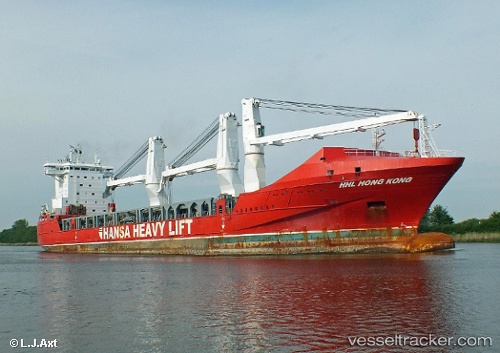
Vessel profile: PLANTIJNGRACHT is a General Cargo Ship with dimensions 169m x 26m.
This page combines live AIS, route history, probable destination signals, nearby traffic, and port activity for practical vessel monitoring.
The current position of vessel PLANTIJNGRACHT is 36.08436 lat / -149.59206 lng. Updated: 2026-03-29 00:41:42 UTCNearest reference points:
- Open sea (no nearby ports in database)
- Open sea, approx. 436 nm off the nearest listed port
- Open sea, approx. 451 nm off the nearest listed port
Currently sailing under the flag of Netherlands ![]()
PLANTIJNGRACHT built in 2010 year
Deadweight:
19347 tDetails:
Live Vessel PLANTIJNGRACHT Analytics (details, animations, etc.)
Recent AIS points (UTC):
2026-03-28 19:25:47 UTC · 36.24667, -150.57333 · SOG 8 kn · COG -1°2026-03-28 22:05:18 UTC · 36.15773, -150.09480 · SOG 9.8 kn · COG 95°
2026-03-28 23:38:30 UTC · 36.11377, -149.80916 · SOG 9.1 kn · COG 95°
2026-03-29 00:41:42 UTC · 36.08436, -149.59206 · SOG 11 kn · COG 94°