 vesseltracker.com
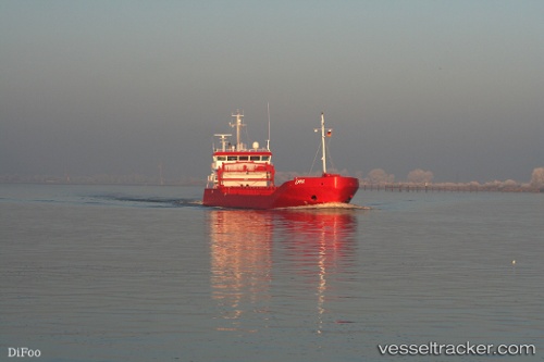
 Emma
Emma
Current Status
Where is the vessel?
Emma is currently in Near SLUISKIL, based on AIS data received less than 1h ago.
Latest AIS update:
Current position: 51.27548° N, 3.84405° E (Near SLUISKIL)
Average speed (last 7 days): Loading…
Average speed (last 30 days): Loading…
Vessel profile: Emma is a General Cargo Ship with dimensions 90m x 13m.
This page combines live AIS, route history, probable destination signals, nearby traffic, and port activity for practical vessel monitoring.
The current position of vessel Emma is 51.27548 lat / 3.84405 lng. Updated: 2026-04-23 12:21:40 UTCNearest reference points:
- Near SLUISKIL
- Near Terneuzen
- Near Baarland
Currently sailing under the flag of Netherlands ![]()
Emma built in 2007 year
Deadweight:
3500 tDetails:
Live Vessel Emma Analytics (details, animations, etc.)
Recent AIS points (UTC):
2026-04-23 07:46:20 UTC · 51.10365, 3.73719 · SOG 0 kn · COG 202°2026-04-23 09:38:38 UTC · 51.15877, 3.78808 · SOG 8.3 kn · COG 20°
2026-04-23 10:25:22 UTC · 51.25459, 3.82635 · SOG 8.6 kn · COG -1°
2026-04-23 12:21:40 UTC · 51.27548, 3.84405 · SOG 0 kn · COG 330°