 vesseltracker.com
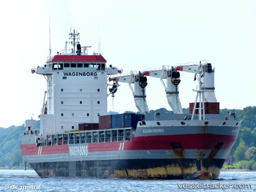
Alaskaborg
Current StatusWhere is the vessel?
Alaskaborg is currently in 73 nm E of Tsuzuki Ku, based on AIS data received less than 1h ago.
Latest AIS update:
Current position: 35.32592° N, 138.10211° W (73 nm E of Tsuzuki Ku)
Average speed (last 7 days): Loading…
Average speed (last 30 days): Loading…
Vessel profile: Alaskaborg is a Multi Purpose Carrier with dimensions 21m x 142m.
This page combines live AIS, route history, probable destination signals, nearby traffic, and port activity for practical vessel monitoring.
The current position of vessel Alaskaborg is 35.32592 lat / -138.10211 lng. Updated: 2026-04-28 10:01:11 UTCDetails:
Live Vessel Alaskaborg Analytics (details, animations, etc.)
Recent AIS points (UTC):
2026-04-28 07:22:09 UTC · 35.53291, -138.62363 · SOG 10.9 kn · COG 115°2026-04-28 07:28:39 UTC · 35.52423, -138.60178 · SOG 11 kn · COG 114°
2026-04-28 09:36:20 UTC · 35.35825, -138.18443 · SOG 10.8 kn · COG 114°
2026-04-28 10:01:11 UTC · 35.32592, -138.10211 · SOG 10.8 kn · COG 114°