 vesseltracker.com
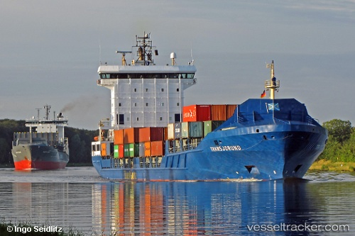
 NJORD
NJORD
Current Status
Where is the vessel?
NJORD is currently in Near Lanzarote, based on AIS data received about 1h ago.
Latest AIS update:
Current position: 28.96940° N, 13.52944° W (Near Lanzarote)
Average speed (last 7 days): Loading…
Average speed (last 30 days): Loading…
Vessel profile: NJORD is a Container Ship with dimensions 142m x 142m.
This page combines live AIS, route history, probable destination signals, nearby traffic, and port activity for practical vessel monitoring.
The current position of vessel NJORD is 28.96940 lat / -13.52944 lng. Updated: 2026-03-26 18:16:43 UTCNearest reference points:
- Near Lanzarote
- Near LAS COLORADAS
- 56 nm NW of Caleta de Sebo
Currently sailing under the flag of Netherlands ![]()
NJORD built in 2007 year
Deadweight:
9543 tDetails:
Live Vessel NJORD Analytics (details, animations, etc.)
Recent AIS points (UTC):
2026-03-26 11:48:40 UTC · 28.92269, -13.57626 · SOG 11.8 kn · COG 58°2026-03-26 13:55:47 UTC · 28.96941, -13.52946 · SOG 0 kn · COG 195°
2026-03-26 15:43:46 UTC · 28.96938, -13.52947 · SOG 0.1 kn · COG 195°
2026-03-26 18:16:43 UTC · 28.96940, -13.52944 · SOG 0 kn · COG 195°